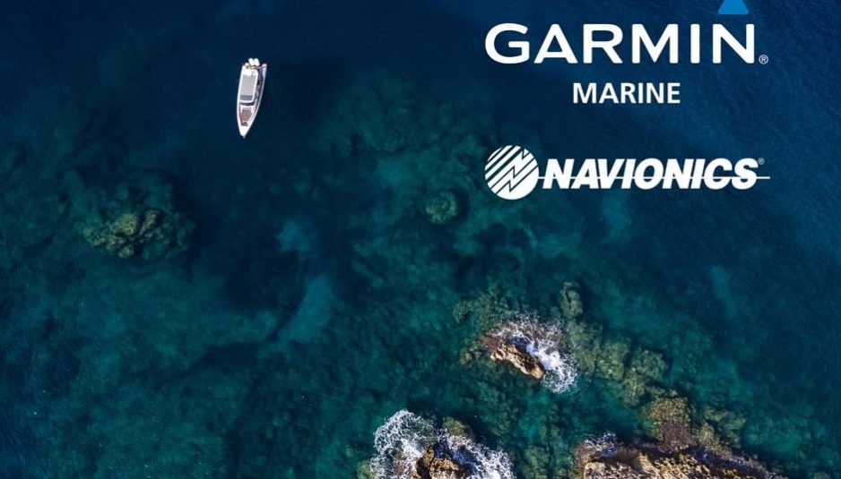
Now if you buy a Garmin chartplotter you enter a new world of cartography. The large Italian cartography company Navionics has been acquired by the equally large American company Garmin, leader in the production and diffusion of electronic and satellite instruments.
Navionics can count on the most complete nautical mapping database, with a total coverage of the seas, and loads of lakes and rivers, through detailed maps, many of which developed by the Viareggio-based company with the help of advanced technologies such as laser surveying and satellite photography.
Garmin, among their many electronic and satellite instruments, can count on a wide range of chartplotters, from basic products to highly evolved ones. With this acquisition the American company not only offers ever more complete and ready-to-use tools, but also gives a great boost to their offer in cartography.
This acquisition will allow
to integrate Navionics
and BluChart maps,
the latter already
developed by Garmin
The American company already owns the Garmin BlueChart G2 cartography, available in HD and Vision HD versions, with high precision maps and interactive features, which in turn support other software such as Autoroute Guidance, which automatically traces the route to prevent undesired submersed obstacles, rocks, low bridges, etc.
By integrating Navionics cartography data with those of Garmin BlueChart, the US company can develop and offer maps with an unprecedented evolution.
But this acquisition will not put the Navionics brand to oblivion: on the contrary, they will continue to live their own life, being globally known by most of the world’s boaters who navigate with their maps and can continue to be assisted from the existing company network.
Navionics is based in Viareggio, on the Italian coast of Tuscany. It has been founded by Giuseppe Carnevali, who is also the chairman, and employs a staff of 350 people working in an extensive network on all continents.




Follow Us
1251 Fans